
Get Your “Back 40” Deer Count Accurately
Get Your “Back 40” Deer Count Accurately
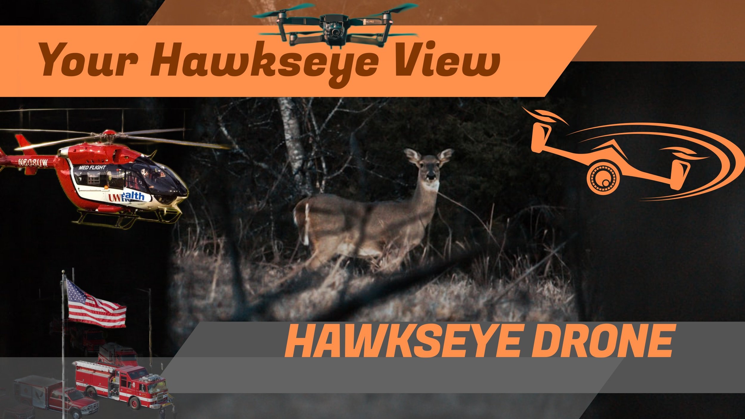
Accurate Deer Counts. No Guesswork.
We use thermal drones to provide accurate, non-invasive deer herd analysis on your property—even in thick cover and timber.
How It Works
1. You Mark Your Land
You can either take screenshots of all the land parcels on OnX or share a Google Maps pin
2. We Plan & Fly the Survey
Our FAA-certified pilots fly a precision thermal grid over your property during optimal conditions.
3. We Analyze the Data
Detections are verified to prevent double counting and ensure accuracy.
What You Get
📄 Buck-to-Doe Ratio Certificate
🎥 Thermal Survey Video
🗺️ Interactive Map with GPS locations & photos
Why Thermal?
More accurate than trail cameras
No disturbance to deer
Works in heavy cover
Real data you can trust
You mark the land. We survey it. You get real results.
👉 Schedule Your Deer Analysis Survey